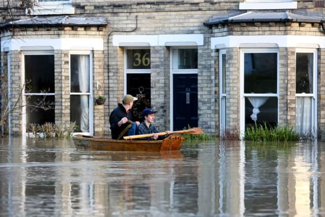
Batten down the hatches - here she comes!


The rain has eased up on for today and tomorrow but by Wednesday heavy rain and 70mph gales are set to cause more misery as a new weather front sweeps in from the West.
Areas already saturated with rain will have a greater risk of more flooding as 4.7” (120 mm) is expected to fall.
Advertisement
Hide AdAdvertisement
Hide AdShap in Cumbria has so far seen the most rain enduring a record of three and a half times its average rainfall of a staggering 28.6” (728mm) from December 1 to Boxing Day.
And more is threatened.
Forecasters said Monday and Tuesday promise to be fairly uneventful, with temperatures remaining fairly mild for this time of year, in the low teens.
The balmy weather is down to the jet stream allowing warm air to come up from the south.
But on Wednesday everything changes and the Met office have issued a yellow warning for Scotland.
Advertisement
Hide AdAdvertisement
Hide AdThe central belt of Scotland from Glasgow through to Edinburgh could even see up to six inches (150mm).
Forecasters said the weather was simply down to bad luck, as a system we would normally avoid in other years hits the country.
However, Thursday should bring clearer spells and only light rain for the most affected areas.
Sophie Yeomans said: “We do have an amber weather warning for parts of Scotland on Wednesday.
Advertisement
Hide AdAdvertisement
Hide Ad“Widely there could be 20 to 40mm of rain but this could be between 60 and 80mm on higher ground.
“Gale speeds could reach up to 70mph.
“Some exposed parts of Southwest Scotland could receive between 100mm and 150mm of rain. Widely it will be between 20mm and 40mm.
“It’s just a case that a weather system that would normally pass to the north or maybe south of us in other years, has affected us this year.
“We’ve not made any scientific assumptions on climate change.
Advertisement
Hide AdAdvertisement
Hide Ad“It’s mostly western areas as the rain will break up and become less heavy as it moves east.
“Once the front has pushed through and reached eastern areas there will be quite a few clear spells around.