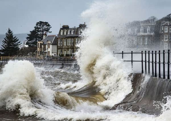
Central belt to be hit as Storm Henry checks in


The Met office has issued an amber “be prepared” wind warning coming into force at 3pm today lasting until 9am tomorrow.
Travel chaos is expected including closures of some key bridges and disruption to ferry services and roads.
Advertisement
Hide AdAdvertisement
Hide AdLast night transport minister Derek Mackay warned that while agencies had their response plans in place to tackle the latest bout of severe winter weather there was “every likelihood” there would be some disruption to the transport network over the next few days.
The worst hit area is expected be the Western Isles, followed by Strathclyde and western coastal areas where winds of 90mph are due to strike.
Storm Henry – the UK’s eight storm of the winter season – swiftly follows Storm Gertrude which left a trail of damage and covered large parts of the country in snow,
However, the Shetland Isles, which saw winds of up to 105mph in Lerwick during Storm Gertrude are predicted to escape Storm Henry.
Advertisement
Hide AdAdvertisement
Hide AdDetailing the Scottish Government’s preparations, Mr Mackay said: “Our multi-agency response team, based at the National Traffic Scotland Control centre which has been in operation throughout the weekend will remain in place to monitor events and respond as required.
“Our fleet of patrol vehicles and gritters are treating roads where needed around the clock to help keep roads open to traffic, but quickly changing conditions means journeys could be disrupted.”
The public are being advised to check weather reports, the Traffic Scotland website or twitter feed and take police advice before making a journey.
Paul Arbuckle, meteorologist at the Met Office in Aberdeen, said: “A deep Atlantic low is passing close just off the north of Scotland bringing with it storm force winds on its southern side which will affect Scotland.
Advertisement
Hide AdAdvertisement
Hide Ad“The places going to be worst affected are the Western Isles during the evening then the central belt. The winds will ease through Tuesday afternoon.”
Mr Arbuckle added that yellow “be aware” rain warnings were also in place for much of Scotland.
Yesterday motorists were advised to avoid the A9 at Drumochter Pass, Dalwhinnie, because of heavy snow.