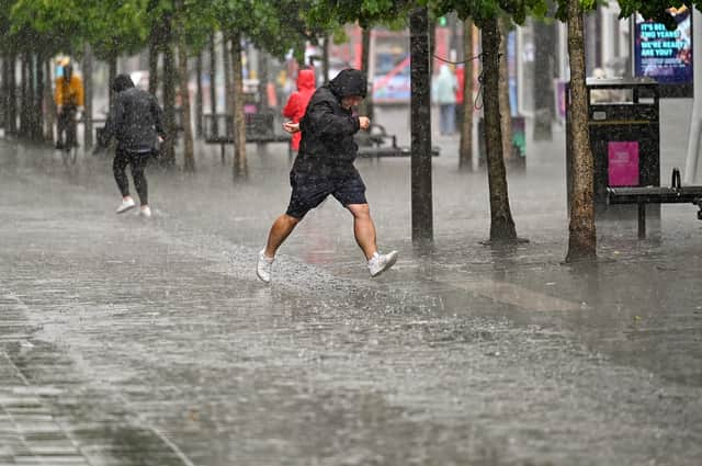
Glasgow weather live updates: Travel disruption as Storm Jocelyn set to hit Glasgow with heavy rain and winds


A yellow weather warning of rain and wind associated with Storm Jocelyn has caused disruption across parts of Glasgow today with ScotRail trains being suspended this evening.
All trains across Scotland will be suspended from 7pm with no rush hour services running on Wednesday morning (24 January) as lines will have to undergo safety inspections in daylight before they can be reopened.
Power Cut
A swathe of Clydebank was plunged into darkness this evening after a power cut due to storm damage to the network. Engineers were able to respond and restore power tonight.
Stong Winds
Glasgow can expect intermittent rain this evening followed by sustained downpours between 11pm tonight and 3am.
Wind gusts of between 44 and 47 mph should be expected tonight, peaking at 56 mph around 2am tomorrow morning. High winds will continue to around late afternoon tomorrow with drier and calmer weather in the evening.
Glasgow Weather Forecast
The latest forecast from the Met Office says Glasgow can expect the following weather conditions.
This Evening and Tonight:
Clear intervals and occasional blustery showers. Strong to gale force southwesterly winds veering westerly tonight. The gales becoming severe in the early hours, perhaps storm force towards the west coast. Minimum temperature 7 °C.
Wednesday:
A mostly bright day with sunny intervals and showers, these showers more frequent in Argyll. Strong to gale force westerly winds, severe at first, easing through the day. Maximum temperature 10 °C.
Rail network
The rail network in Scotland is now closed. ScotRail expect the first trains to start returning to service late morning tomorrow, Wednesday 24 January. 60mph winds are expected overnight and the rail network is still repairing damage from Storm Isha.
Comment Guidelines
National World encourages reader discussion on our stories. User feedback, insights and back-and-forth exchanges add a rich layer of context to reporting. Please review our Community Guidelines before commenting.
