Glasgow weather: ‘typical conditions’ ahead - with possible thunderstorms, says Met Office

and live on Freeview channel 276
A heatwave earlier this week saw temperatures of 28 degrees throughout Glasgow on Monday, rising to 29 degrees on Tuesday - warmer than both Athens and Barcelona.
Thankfully - at least for those who like cooler nights and less sweaty days - the worst of the hot weather is ‘behind us’.
Advertisement
Hide AdAdvertisement
Hide AdWhile the record-breaking weather had been carried from south west Europe, conditions will now be dominated by the influence of the Atlantic.
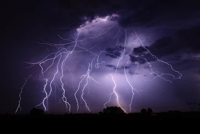

Dan Suri, Met Office chief forecaster, said: “Now that the extreme heat is behind us, the UK can look forward to more typical conditions. The introduction of moister air from the Atlantic is triggering the risk of thunderstorms and heavy showers for parts of the UK with a warning in force today for most of southern and eastern England.
“There’s a further risk of thunderstorms on Friday but by the weekend it’ll turn drier, brighter and increasingly warm in the south and east of England. Northern and western parts of the UK are set to experience relatively fresher conditions as it turns breezier and wetter here over the weekend.”
Temperatures are set to hit 21 degrees today (Thursday) and then drop back down to 19 degrees on Friday, with a chance of rain throughout the early afternoon.
The weekend is also expected to be wet, with rain forecast during Saturday afternoon and evening and throughout the whole of Sunday.
Comment Guidelines
National World encourages reader discussion on our stories. User feedback, insights and back-and-forth exchanges add a rich layer of context to reporting. Please review our Community Guidelines before commenting.