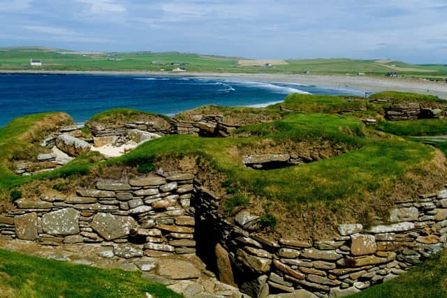
Met Office issues yellow weather warning for Glasgow - when is it in place and weather forecast
and live on Freeview channel 276
The Met Office has issued a yellow weather warning for Glasgow due to a “a spell of strong winds across Scotland” that is expected to bring some disruption.The official warning does list a small chance of injuries due to flying debris as one of their points on what people can expect during the timeframe of which the warning is in place for.
A Met Office spokesperson said: “A deep area of low pressure is expected to impact much of northern Britain through Friday. Winds will increase from west to east, with gusts of 55-65 mph likely, and locally as high as 70-75 mph for exposed coasts and hills. Winds will gradually increase through Friday afternoon and evening.”
Advertisement
Hide AdAdvertisement
Hide AdThe Met Office website has listed the best ways to stay safe during periods of strong winds which includes how you can best protect yourself and your home before it arrives, from securing bins to driving safely.
So, where is the weather warning in place? Here’s everything you need to know including a weather forecast for the remainder of the week.
Where does the weather warning cover?
The warning does affect a large chunk of Scotland and the north of England.
Central, Tayside & Fife
- Angus
- Clackmannanshire
- Dundee
- Falkirk
- Fife
- Perth and Kinross
- Stirling
Grampian
- Aberdeen
- Aberdeenshire
- Moray
Highlands & Eilean Siar
- Na h-Eileanan Siar
- Highland
Orkney & Shetland
- Orkney Islands


SW Scotland, Lothian Borders
- Dumfries and Galloway
- East Lothian
- Edinburgh
- Midlothian Council
- Scottish Borders
- West Lothian
Strathclyde
- Argyll and Bute
- East Ayrshire
- East Dunbartonshire
- East Renfrewshire
- Glasgow
- Inverclyde
- North Ayrshire
- North Lanarkshire
- Renfrewshire
- South Ayrshire
- South Lanarkshire
- West Dunbartonshire
When is the weather warning in place?
The weather warning is in place from 5am to 3pm on Friday, February 17.
What to expect
Advertisement
Hide AdAdvertisement
Hide AdThe Met Office website has set out a list of issues that could arise due to the heavy winds forecast for the area:
- There is a small chance of injuries and danger to life from flying debris
- There is a slight chance of some damage to buildings, such as tiles blown from roofs
- There is a small chance of longer journey times or cancellations as road, rail, air and ferry services are affected. High-sided vehicles may be particularly prone in this set-up.
- There is a small chance that some roads and bridges could close
- There is a slight chance that power cuts may occur, with the potential to affect other services, such as mobile phone coverage
- There is a small chance that injuries and danger to life could occur from large waves and beach material being thrown onto sea fronts, coastal roads and properties
Weather forecast for Glasgow
Tonight
The evening will be mostly cloudy with some light rain or drizzle throughout. Low clouds will bring fog to higher ground throughout the night. Temperatures will reach lows of 5°C.
Thursday
Thursday is expected to be mostly a dull and overcast day in Glasgow with fog on higher ground and some potential drizzle. However, clouds are expected to lift in the afternoon and the conditions are expected to brighten a little.


Rain is expected to arrive in the evening. Temperatures are forecast to reach highs of 9°C.
Outlook for Friday to Sunday
Advertisement
Hide AdAdvertisement
Hide AdOvernight rain will clear on Friday but scattered showers may arrive throughout the day. Conditions will be windy with severe gales in some places. Saturday and Sunday are expected to be mostly dry and bright with some showers in southwestern areas.
Comment Guidelines
National World encourages reader discussion on our stories. User feedback, insights and back-and-forth exchanges add a rich layer of context to reporting. Please review our Community Guidelines before commenting.
