UK snow forecast: Glasgow temperature to plummet -4°C this weekend - snow and wind alert in place

and live on Freeview channel 276
It will be bitterly cold in Glasgow this weekend with the feels-like dropping to as low as -4°C.
Additionally, a Met Office weather warning affecting Glasgow is in place and is valid from 12.00am to 6.00pm on Saturday.
Advertisement
Hide AdAdvertisement
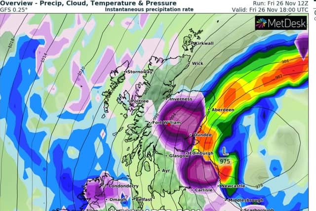
Hide Ad“Storm Arwen will bring high winds to most areas during Saturday,” said the Met Office.
“Gusts will widely reach 55 to 65 mph in many coastal areas with the highest gusts in coastal parts of east Scotland, Northern Ireland, Wales, southwest England and northeast England where gusts in excess of 65 mph are expected in some areas.
“Winds will slowly ease from the northwest during the day.”

There will be eight weather warnings in place across the UK over the weekend, such is the disruption brought by Storm Arwen.
The conditions were of such a severe nature that the Met Office had to issue a very rare red weather warning for parts of North East England and Scotland on Friday.
Strathclyde weather forecast
This Evening and Tonight:
Advertisement
Hide AdAdvertisement
Hide AdAny patchy rain or snow will soon clear this evening Then mainly dry but wintry showers across Argyll. Strong northerly winds, coastal and upland gales at first easing later. Cold, icy patches. Minimum temperature 0 °C.
Saturday:
Many places will have a dry, cold and sunny day. A few wintry showers continuing across Argyll. Brisk northerly wind along the west coast. Maximum temperature 4 °C.
Outlook for Sunday to Tuesday:
Dry, cold and sunny on Sunday, but the west coast may turn cloudy. Dry and cold on Monday, chance of some rain on Tuesday.
What Glasgow should expect from yellow wind warning:
- Injuries and danger to life from flying debris are possible.
- Some damage to trees, temporary structures and buildings, such as tiles blown from roofs, could happen.
- Road, rail, air and ferry services may be affected, with longer journey times and cancellations possible.
- Some roads and bridges may close.
- Power cuts may occur, with the potential to affect other services, such as mobile phone coverage
- Injuries and danger to life could occur from large waves and beach material being thrown onto sea fronts, coastal roads and properties.
Comment Guidelines
National World encourages reader discussion on our stories. User feedback, insights and back-and-forth exchanges add a rich layer of context to reporting. Please review our Community Guidelines before commenting.