UK snow forecast: Met Office issues two weather warnings as temperatures set to drop to -4°C

and live on Freeview channel 276
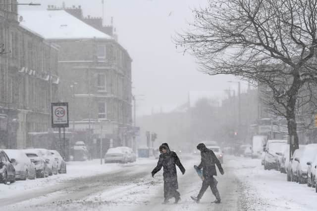
Glasgow is set for some torrid and bitterly cold weather within the next 48 hours.
Weather alert one
The Met Office issued the first of two weather warnings on Wednesday morning affecting Glasgow.
Advertisement
Hide AdAdvertisement
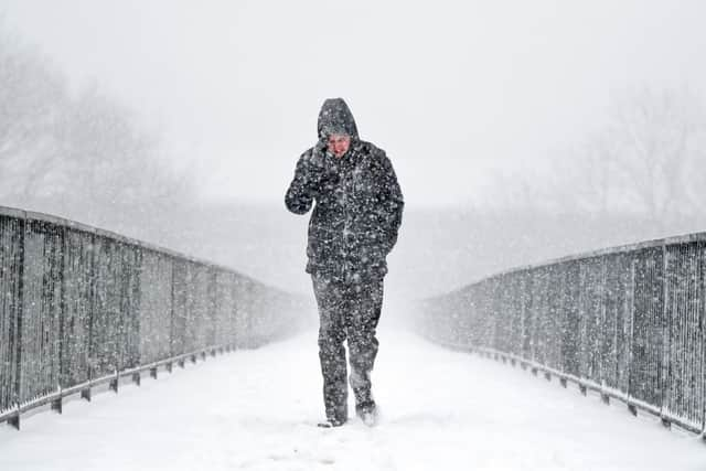
Hide AdThe first weather alert is for snow and is valid from 4.00pm on Wednesday through to 11.00am on Thursday.
“Showers will fall as snow to quite low levels on Wednesday evening and night.
“Accumulations of 2-5 cm are possible above 200 metres elevation, with perhaps around 10 cm on some of the highest routes above 400 metres.
“At lower levels some slight slushy falls are possible, as well as a risk of icy surfaces, before the snow becomes more confined to high ground during Thursday morning,” reads the official Met Office website.
What to expect:
Advertisement
Hide AdAdvertisement
Hide Ad- Some roads and railways likely to be affected, leading to longer journey times by car as well as by bus and train services.
- Probably some icy patches on some untreated roads, pavements and cycle paths.

Weather alert two
The second weather warning to be issued by the Met Office affecting Glasgow on Wednesday morning was an alert for wind.
This warning is valid from 3:00am and 12:00pm on Thursday.
“A brief period of severe gale force westerly winds will develop across the Western Isles during the early hours of Thursday morning bringing gusts up to 70-75 mph, the Uists most likely to see the strongest winds.
Advertisement
Hide AdAdvertisement
Hide Ad“Then a brief period of strong to gale west to southwesterly winds will transfer quickly eastwards across the rest of the warning area on Thursday morning, gusts typically around 50 mph, but perhaps approaching 60 mph in a few locations.
“Whilst such wind speeds are not unusual for the time of year, recently weakened trees and structures may mean a greater likelihood of localised damage or disruption,” reads the warning on the Met Office website.
Strathclyde weather forecast
Wednesday February 9 - Sunday February 13
Headline:
Cold and windy with increasingly wintry showers.
Today:
Sunny intervals and blustery showers. The showers will be heavy at times and falling as snow on high ground, with some accumulations on the hills. Feeling cold in the strong southwest wind. Maximum temperature 6 °C.
Tonight:
Clear intervals and occasional sleet or snow showers, giving some moderate accumulations over higher ground. Westerly winds strengthening to gale force later in night, though showers mainly turning to rain. Minimum temperature 0 °C.
Thursday:
Advertisement
Hide AdAdvertisement
Hide AdA very windy start with gales and frequent showers. Winds and showers easing later in morning, then sunnier afternoon for most, still some showers in west. Maximum temperature 6 °C.
Friday mainly dry and bright with sunny intervals and a few showers. An unsettled weekend with spells of rain, some heavy, and some brighter showery interludes, milder.
Comment Guidelines
National World encourages reader discussion on our stories. User feedback, insights and back-and-forth exchanges add a rich layer of context to reporting. Please review our Community Guidelines before commenting.