

Whatever the intended benefits, the motorway reshaped vast parts of Glasgow almost beyond recognition. Entire streets were cleared, historic buildings torn down, and long-standing communities broken apart, scattering friends, neighbours, and families across the city and beyond.
In March 1945, Glasgow’s city engineer, Robert Bruce, presented his First Planning Report to the Highways and Planning Committee. His ambitious vision set out a dramatic blueprint for the city’s future — redefining how Glaswegians would live and work, how the city centre would evolve, and how movement across the city would be transformed.
Two decades later, in June 1965, Scott, Wilson, Kirkpatrick and Partners published A Highway Plan for Glasgow, establishing a comprehensive road strategy that would shape the city for generations. The inner-city section of the M8 was subsequently built between 1968 and 1972.
Neighbourhoods once dense with life — Townhead, Cowcaddens, Charing Cross, Anderston and Kinning Park — were changed irrevocably, their character and communities forever altered.
In recent days, Glasgow City Council backed plans to demolish a key stretch of the M8 at Woodside Viaducts.
Here are the Glasgow areas changed forever by the construction of the M8 in the 1960s as council backs plans for demolition.
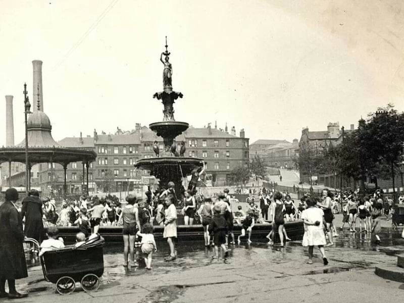
1. Cowcaddens
Phoenix Park in Cowcaddens, 1930. The Corporation of Glasgow created the park on the site of the Phoenix Foundry, one of Glasgow’s oldest iron foundries who produced the main entrance gates to the Necropolis. The park was swept away when the area was cleared during the building of the M8. | Glasgow Archives
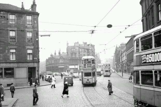
2. Anderston
Situated south of Charing Cross is Anderston, on the north shore of the Clyde. The old Anderston was flattened for the M8. Scores of high-density tenement-laden streets, including the ancient five-way-junction at Anderston Cross, were swept away for what was originally intended to be the western flank of the Inner Ring Road. In 1950 Anderston had 32,000 residents, but within just 20 years more than two thirds of them had been relocated to new ‘villages in the sky’; the high rise blocks which were being constructed on the outskirts of the city and beyond. | TSPL
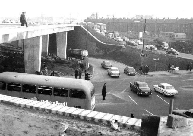
3. Townhead
Within just a decade of the CDA declaration, an area once teeming with young working families and vital industry had been replaced with a construction site and a massive motorway interchange. The population of Townhead by the end of the 20th century was around 8,000, less than half the number of people who had lived there a generation before. Photo: TSPL
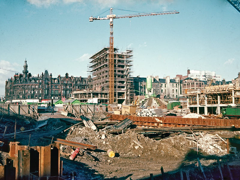
4. Charing Cross
For many Glaswegians, the destruction of old Charing Cross for the M8 was an unforgivable act of urban vandalism as it destroyed many fine examples of architecture. | John Hume