
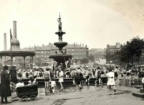


Whatever the intended benefits, the motorway reshaped vast parts of Glasgow almost beyond recognition. Entire streets were cleared, historic buildings torn down, and long-standing communities broken apart, scattering friends, neighbours, and families across the city and beyond.
In March 1945, Glasgow’s city engineer, Robert Bruce, presented his First Planning Report to the Highways and Planning Committee. His ambitious vision set out a dramatic blueprint for the city’s future — redefining how Glaswegians would live and work, how the city centre would evolve, and how movement across the city would be transformed.
Two decades later, in June 1965, Scott, Wilson, Kirkpatrick and Partners published A Highway Plan for Glasgow, establishing a comprehensive road strategy that would shape the city for generations. The inner-city section of the M8 was subsequently built between 1968 and 1972.
Neighbourhoods once dense with life — Townhead, Cowcaddens, Charing Cross, Anderston and Kinning Park — were changed irrevocably, their character and communities forever altered.
In recent days, Glasgow City Council backed plans to demolish a key stretch of the M8 at Woodside Viaducts.
Here are the Glasgow areas changed forever by the construction of the M8 in the 1960s as council backs plans for demolition.
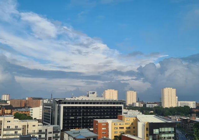
9. Cowcaddens
Cowcaddens began life as a village to the north west of the old centre of Glasgow. The district grew following the construction of the Monklands Canal, leading to it being amalgamated with Glasgow in 1846. Designated a Comprehensive Development Area in the 1960s, very few of Cowcaddens’ original tenements now survive. Also demolished was Buchanan Street Railway Station, which, along with St Enoch to the south, was considered surplus to requirements in the wake of the Beeching Report. The area today is a mish-mash of commercial developments, high rise housing, busy roads and underpasses, with the M8 providing a distinct barrier to the north. Photo: Shutterstock
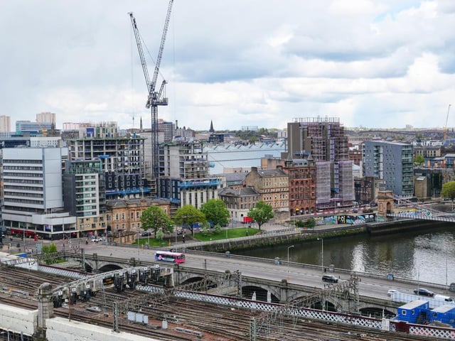
10. Kinning Park
In the 1970s the district was cut in two by the motorway’s western approach towards Tradeston. Swathes of Kinning Park’s four-storey sandstone tenements gradually disappeared, with residents shipped out to far flung outskirts. Photo: Shutterstock
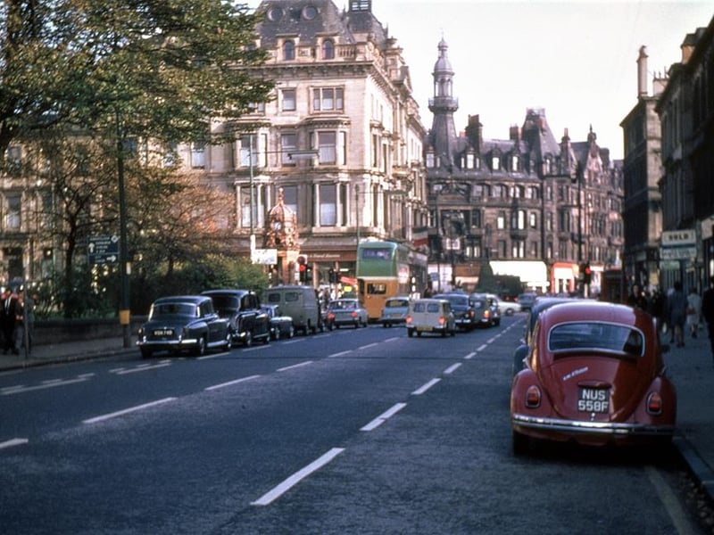
11. Charing Cross
Douglas Thomson told Lost Glasgow: "Charing Cross in 1968 and 2018, showing how half a century can change even a still-familiar scene. The 1968 shot is from my late-uncle's collection, and was probably taken when he became aware the Grand Hotel on the left was shortly to be dismantled, to make way for the brand new M8." | Douglas Thomson
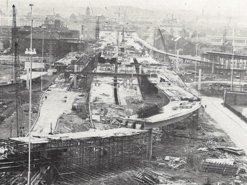
12. Kingston Bridge construction
Vast swathes of the city were cleared to make way for new sections of motorway to connect to the Kingston Bridge over the Clyde. | Kingston Bridge construction