Will Glasgow get a heatwave in July 2022? Met Office weather forecast - as more hot temperatures predicted

and live on Freeview channel 276
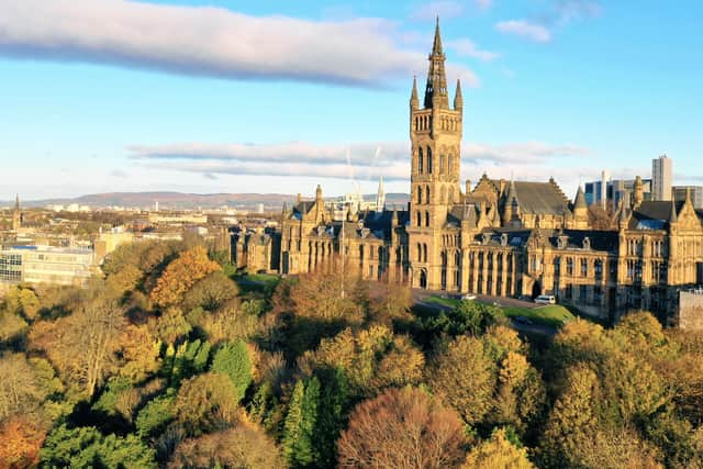
After weeks of unsettled weather it seems that the brighter conditions may be with the City of Glasgow for longer than expected.
As is tradition with UK summertime we have seen weather from every season in recent weeks, from thunderstorms and grey skies to some warmer days.
Advertisement
Hide AdAdvertisement
Hide AdHowever, it seems that we may be in for some prolonged sunny periods in the coming days and weeks, bringing with it rumours of a potential heatwave.

So, will Glasgow be getting a heatwave?
Here’s everything you need to know about the current forecast.
What have the Met Office said?
The Met Office released a statement on Monday 4 July stating that the weather looks to be: “the situation remains the same into the start of next week, which means further dry and sunny weather and temperatures climbing higher during Monday and Tuesday.”
“Likely peaking on Tuesday with temperatures possible in the low 30s Celsius in part of England and Wales, and high 20s elsewhere.”
Advertisement
Hide AdAdvertisement
Hide AdMet Office Meteorologist and Presenter Alex Deakin said: “the strong July sunshine plus the high pressure squishing the air means that temperatures will be building through Sunday and Monday, likely to be over 30 Celsius and perhaps going up a notch further by the time we get to Tuesday.”
However, top temperatures in Glasgow this week look set to peak at 22C and could be as low as 17C.
What is the threshold for a heatwave in the UK?
According to the Met Office, for a heatwave to be declared a threshold must be met.
The UK heatwave threshold is described on the Met Office website as: “when a location records a period of at least three consecutive days with daily maximum temperatures meeting or exceeding the heatwave temperature threshold.”
Advertisement
Hide AdAdvertisement
Hide AdThe initial heatwave thresholds were calculated based on the 1981-2010 climatology of daily maximum temperature at the midpoint of the meteorological summer (15 July). In 2022, the Met Office updated the threshold.
The threshold for a heatwave temperature differs by county, with some areas in the southeast having a threshold of 28°C, while areas to the north and west have a threshold of 25°C.
What is the current weather forecast for Glasgow?
Today
Today will start off cloudy with some birhgter interludes. There will be scattered showers breaking out later in the morning.
In the the afternoon the showers will occassionally seem heavy.
Temperatures are expected to hit highs of 19 °C.
Tonight
Advertisement
Hide AdAdvertisement
Hide AdThis evening the scattered showers will fade out and the event will remain dry and clear.
There will be light winds continuing throughout.
Temperatures are expected to reach lows of 10°C.
Saturday
The rain will continue into the weekend and spread to northeastern areas in the morning with more rain in the afternoon.
Temperatures will continute to feel cooler and are expected to reach highs of 19°C.
Outlook for Sunday to Tuesday
Sunday will be warm and breezy with showers that may be occassionally heavy. Monday and Tuesday will be cooler with lighter showers.
What is the long range forecast for the UK?
Friday 22 July - Sunday 31 July
Advertisement
Hide AdAdvertisement
Hide AdThere will be a generally dry start to this period with some sunny intervals expeced on Friday.
However, it is likely that there will be some local showers throughout. As we move into the weekend weather conditions may become more unsettled with longer spells of rain developing more widley.
Temperatures are expected to be close to average for this time of the year.
Further into this period fine and dry weather is likely to arrive as high pressure will build over the UK.
Advertisement
Hide AdAdvertisement
Hide AdSouthern areas may become very warm again with much of the northern areas seeing temperatures close to normal.
As we come to the end of July the conditiosn may become more unsettled.
Monday 1 August - Monday 15 August
A widespread shift to more unsettled conditions will occure for most of the UK at the beginning of this period. However, there will still be some decent sized dry spells.
There is a risk of some thunderstorms, particularly for southern areas where the tempeatures will be above normal.
Comment Guidelines
National World encourages reader discussion on our stories. User feedback, insights and back-and-forth exchanges add a rich layer of context to reporting. Please review our Community Guidelines before commenting.